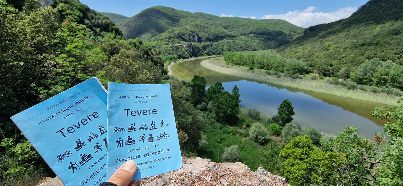
dalle Sorgenti Fumaiole all’Oceano Mare, tra sfide moderne e antiche vestigia
The Queen of the Bike Lanes
The lands of the Queen follow the Tiber river from the sources to the seaside: eight stages and 444km (276 miles) along that road that will be the future Tiber Bike Lane.


 19giu22 fpf")


 19giu22 fpf")

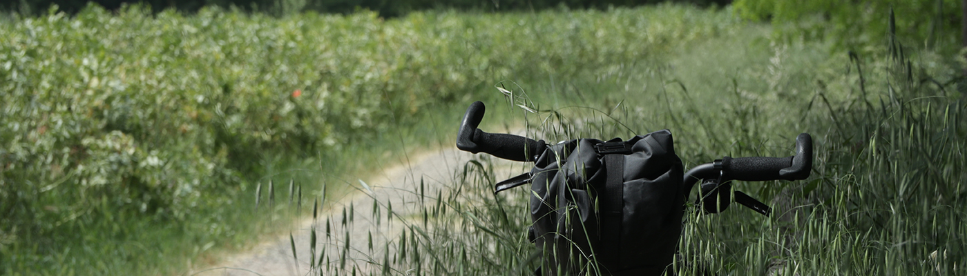
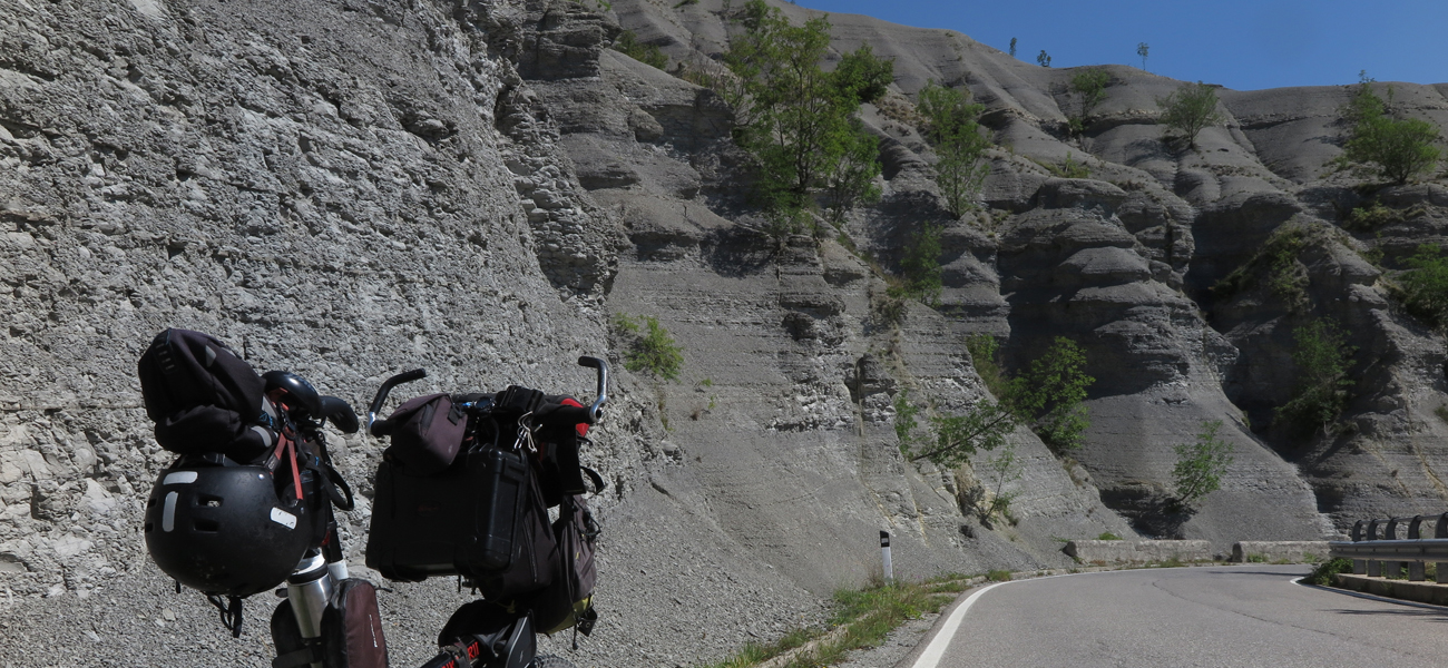
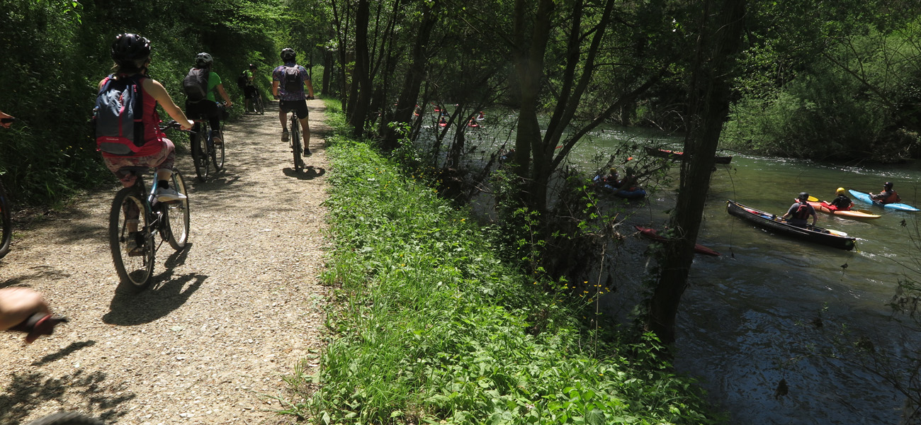
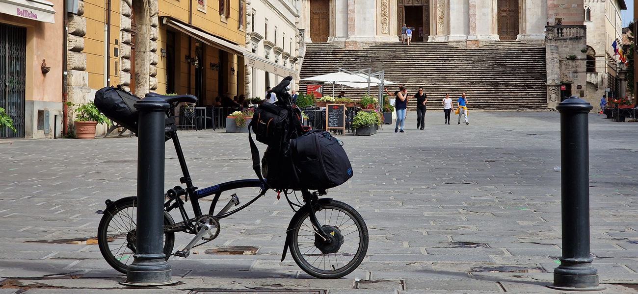
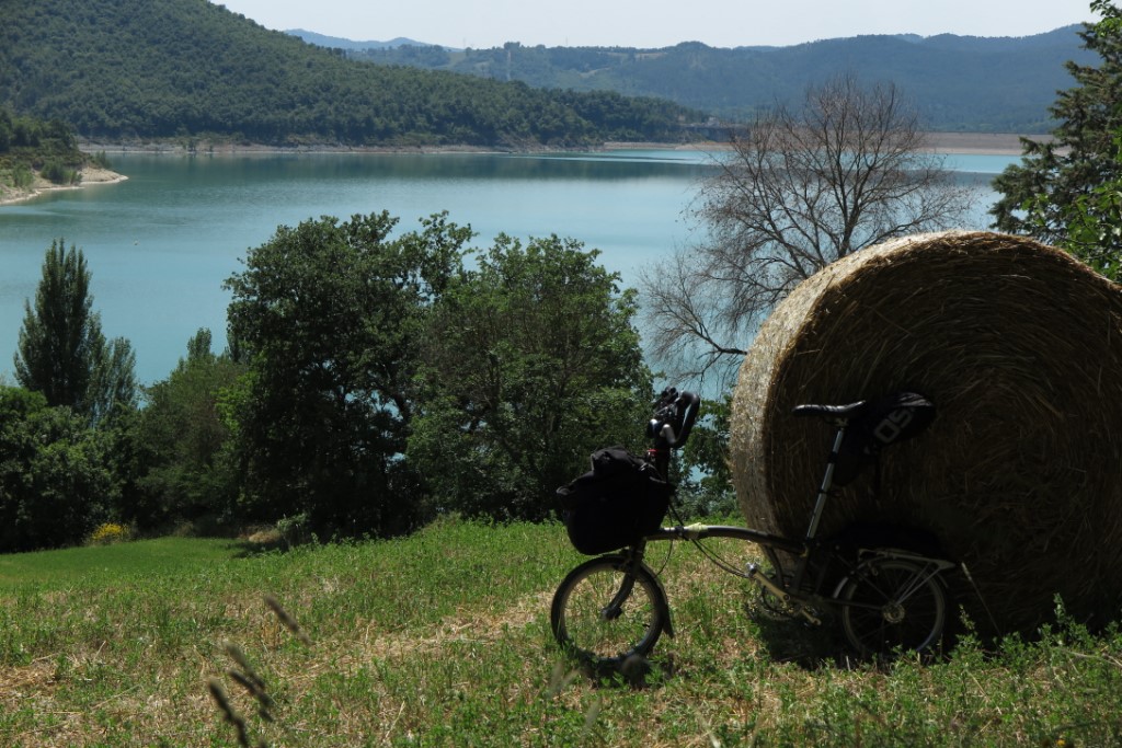
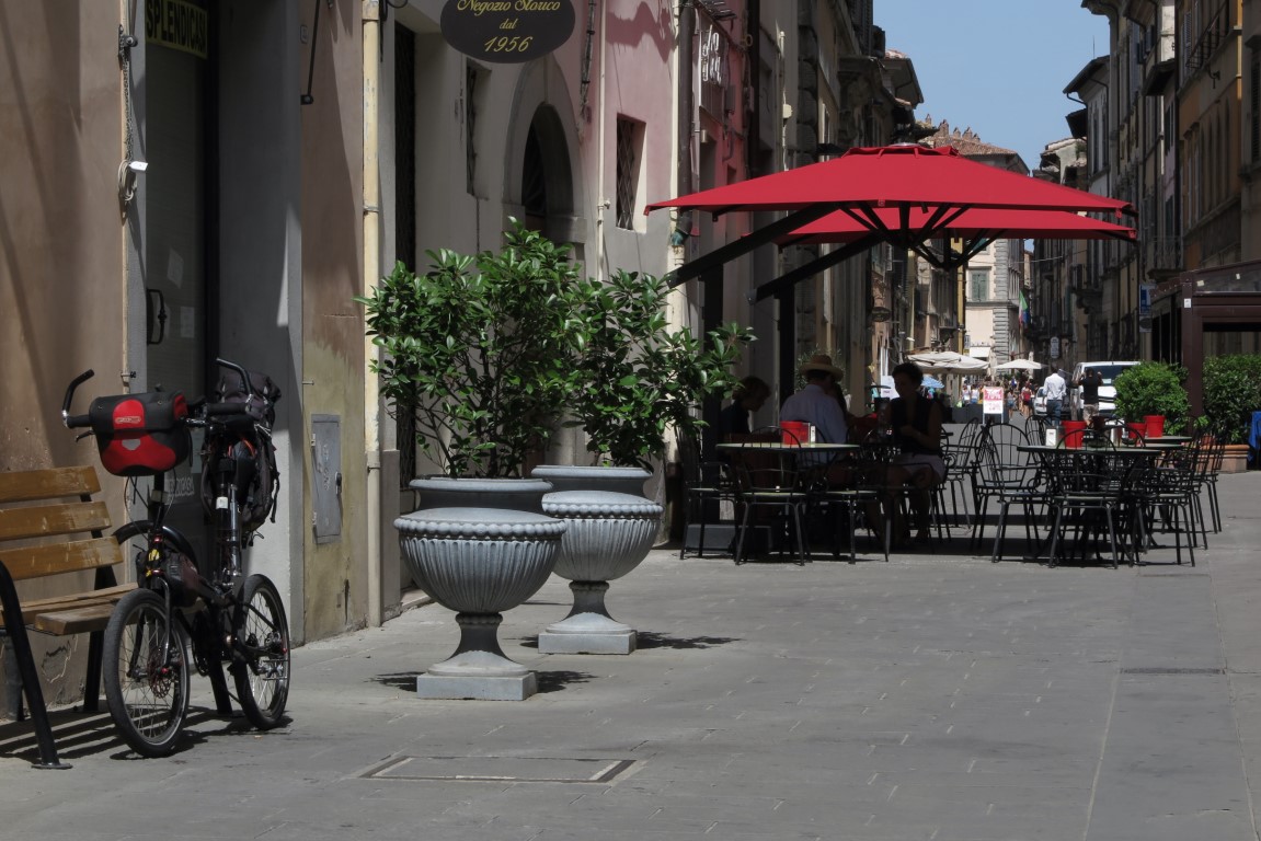
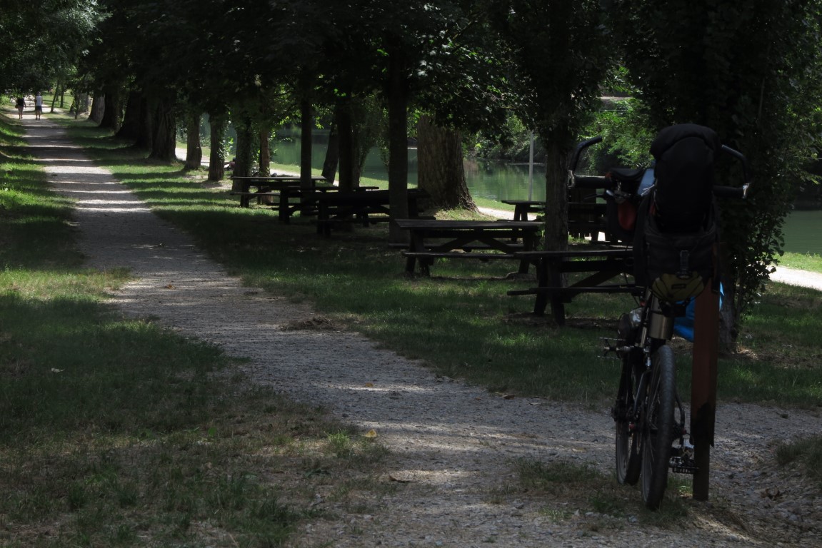
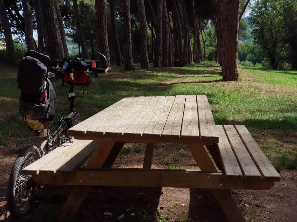
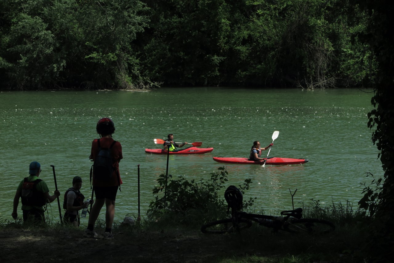
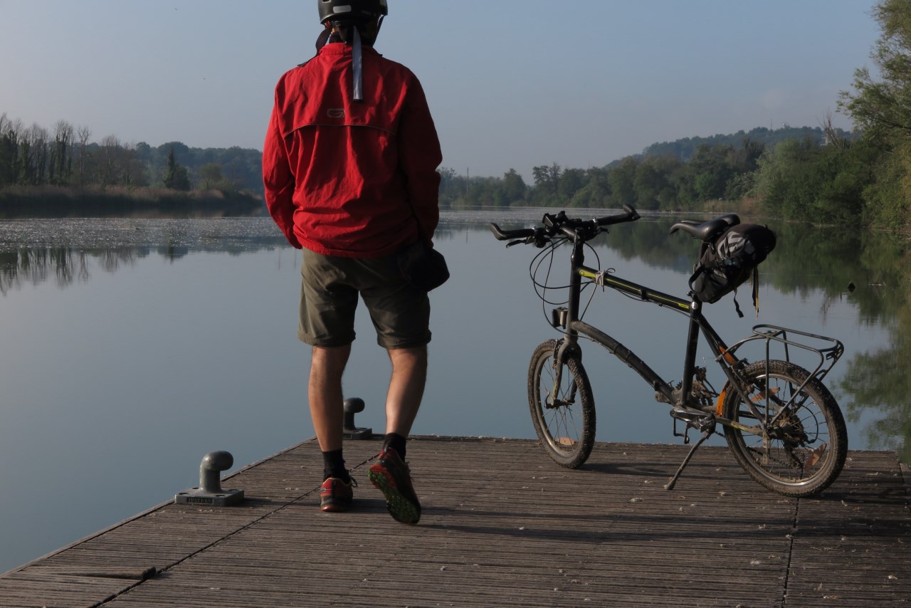
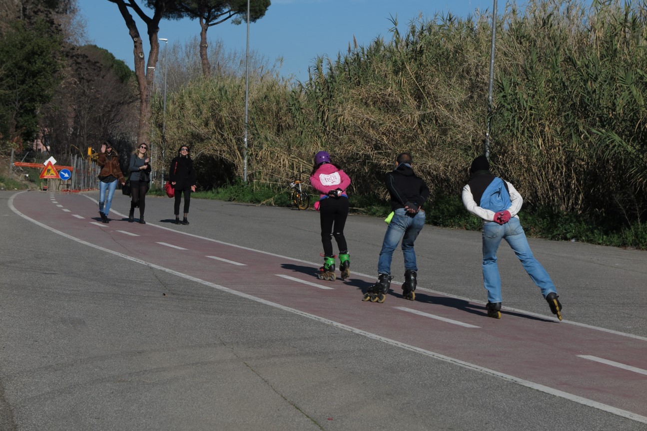
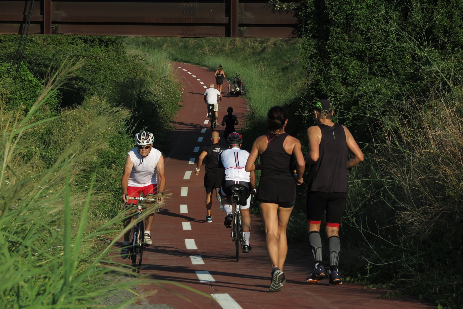
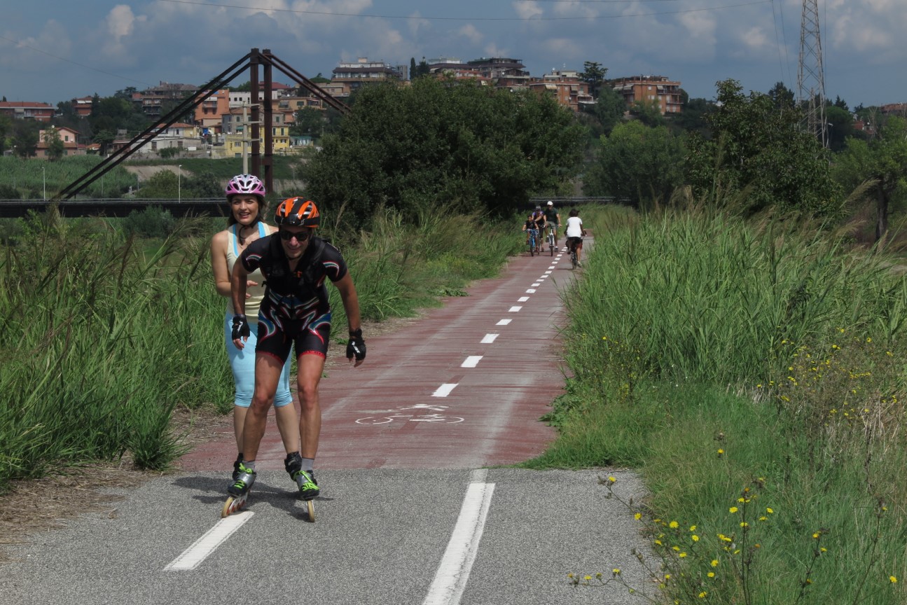
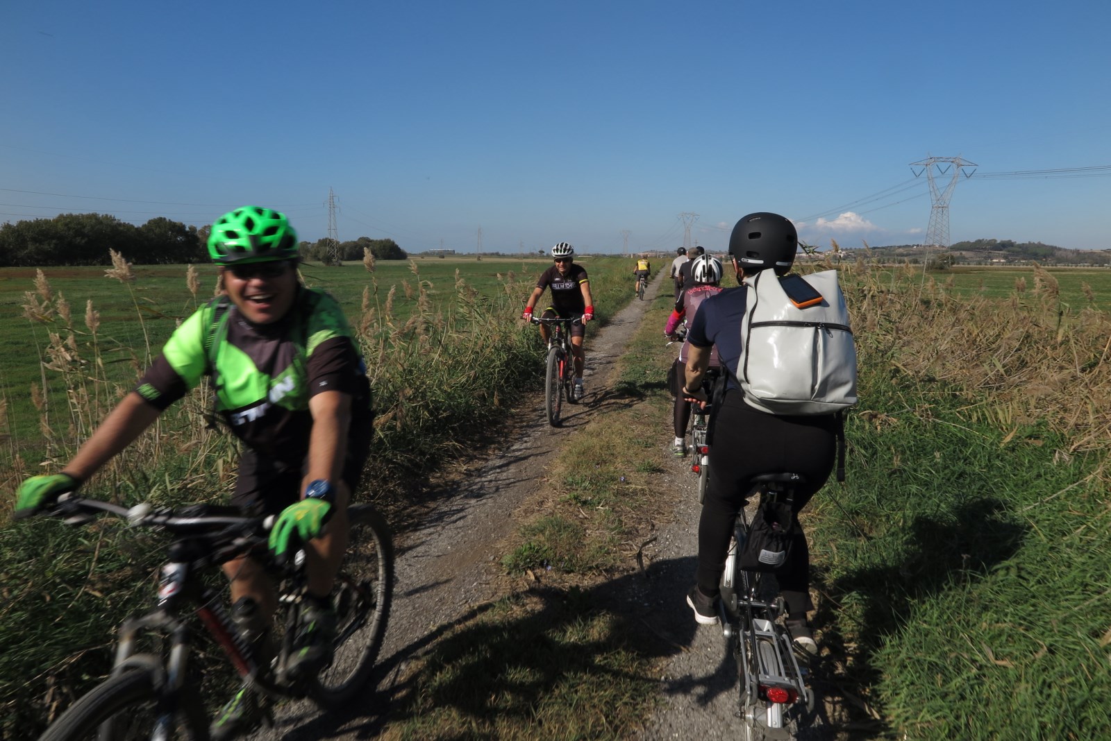
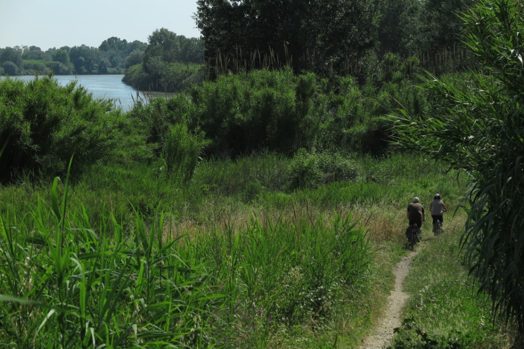
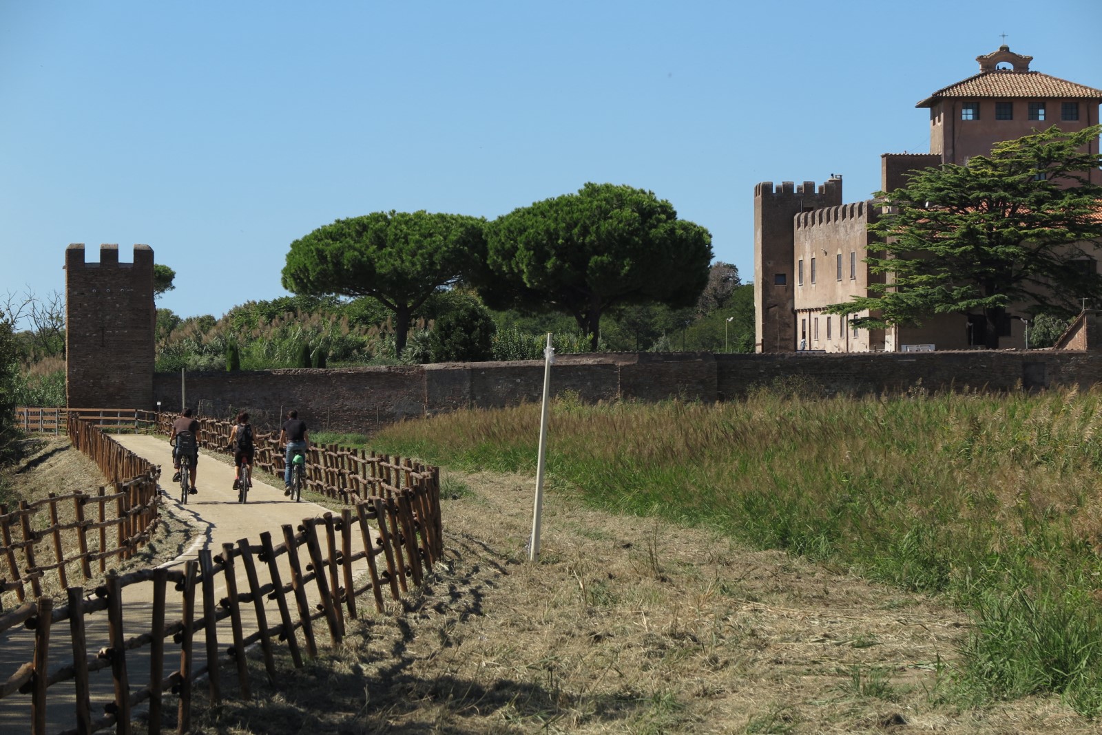
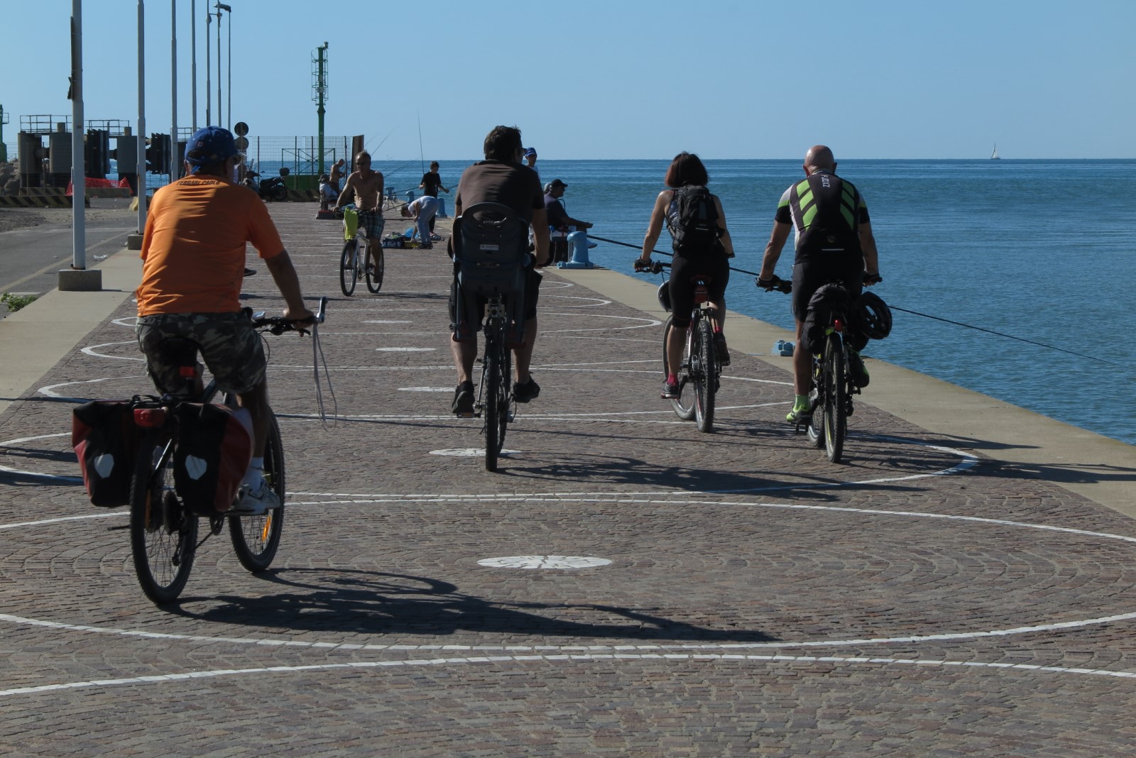
(some photos from the sources to the seaside)
Tiber Map at 360°: tracks and photos
The Tiber Map at 360° gives the whole vision of the full route (for summer and winter months) and the spherical photos. mapviewer...
Stage 1 of 8
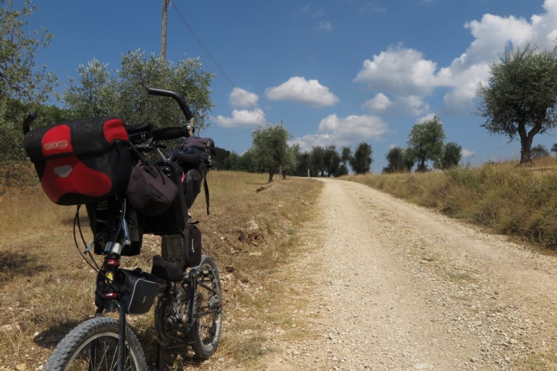
The first leg of the future Queen of the bike lanes and Tiber Bike Route, around 70 km from the springs in Città di Castello. A cycling tour that manages to surprise you with crystalline Tiber waters.
- Download Gpx Track from italian page.
- > Please refer to 360°TiberMap to watch all the spherical photos taken on site.
The first stage of the Tiber Bike Route starts from the Sorgenti Fumaiole, in the setting of Tuscany’s and Romagna’s Apennines, to reach Città di Castello in Umbria. Woods, streams and bare mountain marls accompany the descent from the springs, near the village of Balze.
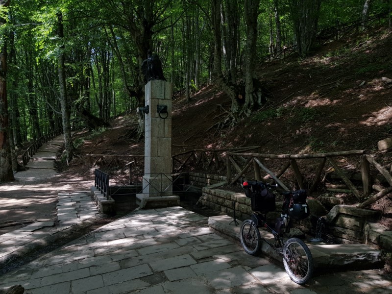
You can reach the springs inside a beech forest (360° photo) in 15 minutes walking along a path (360° photo) that starts from the parking lot near the provincial road.
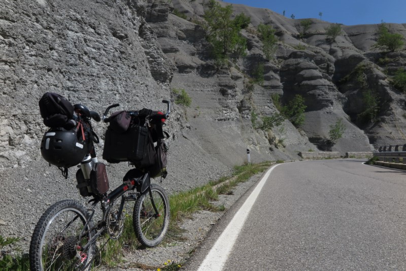
The first 13 km are along the provincial 38, which reaches downhill the border with Tuscany. This is the stretch where you might encounter the traffic of tourists who go up to Monte Fumaiolo.
Just outside the village of Balze, looking out from a tiny bridge, we meet the Tiber, no more than a stream, in its placid descent into the valley (360° photo). You can also taste the Watermelon Pear (Pera Cocomerina), listed by Slow Food, at Ville di Montecoronaro.
After crossing the border with Tuscany, you enter the traffic-free section of the Tiberine provincial road: a paradise (360° photo, 360° photo, 360° photo, 360° photo, 360° photo) for all cyclists who travel back and forth. Pieve Santo Stefano, the "City of the diary", can be reached after 25 km (around 15,5 miles). It isn’t uncommon to meet pilgrims on foot: the St Francis' Way passes through here.
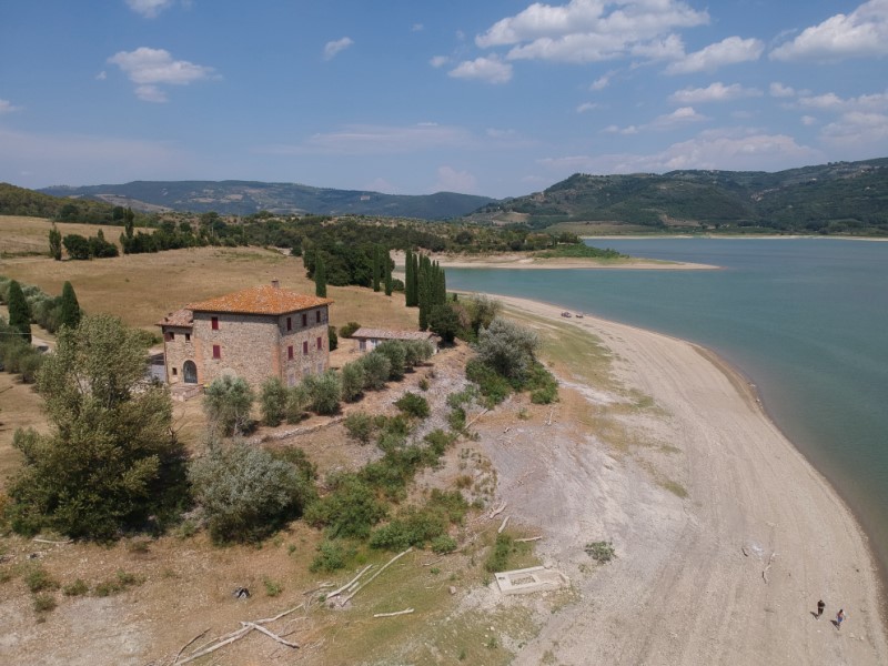
After S. Stefano, on the 30th kilometer (18,6th mile), the route crosses the Tiber, already a full-bodied stream (360° photo). Its disarming clarity can be seen closely a little further on (360° photo). From here the road goes up along the Montedoglio lake, an artificial basin built in the 1980s blocking the course of the Tiber.
On the 40th kilometer (25th mile) you look out over the imposing dam, from here on the descent begins and then the long plain of the upper Tiberine Valley (with the winter variant that cuts straight). On the 55th kilometer it crosses into Umbria and shortly after, returning to the left bank, you cycle on a pleasant dirt road that reaches the end of the leg along the river (360° photo, 360° photo, 360° photo). The visit to Città di Castello gives a clear idea of all the charme of the Umbria region.
Stage 2 of 8
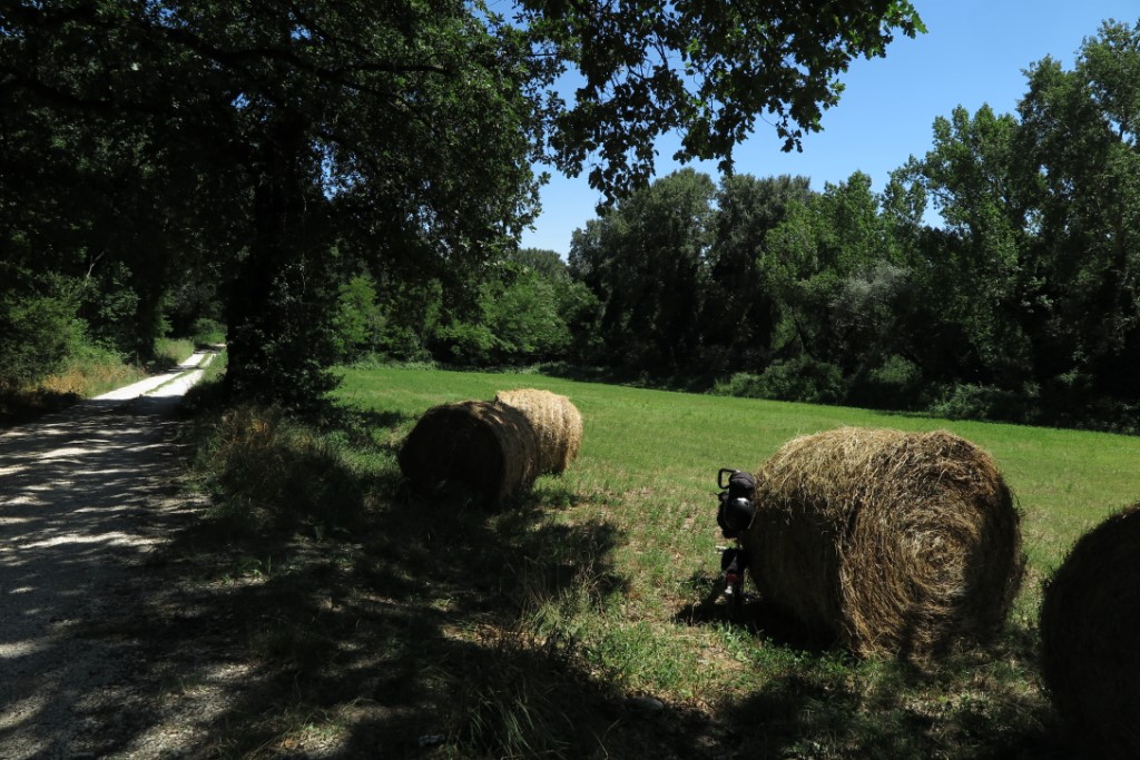
The second leg of the Tiberine Bike Route stretches for 67 km (around 41,63 miles) from Città di Castello to Perugia Ponte S.Giovanni. A path to go deeper into nature and get closer to an unrecognizable river (for those who are familiar with it in Rome and surroundings): the Tiber that descends here crystalline from the mountains. A route mainly on dirt and secondary roads, immersed in the green of Umbria, between villages and countryside, woods and clearings, beaches and paths.
- Download gpx track from italian page.
- > Please refer to 360°TiberMap to watch all the spherical photos taken on site.
The second stage of the Tiberine Bike Roads starts from Città di Castello on a dirt road; the Tiber river will accompany us almost continuously for the first 20 km (around 12.50 miles). With the exception of the summer season, muddy areas may be encountered, but it can be avoided following the winter track (brown trak into Tiber Map). For the next 7 km (around 4.34 miles) on asphalt, pay attention to the vehicles. Umbertide, like Città di Castello, is a wonderful city to visit. In addition to the walk to the Rocca (360° photo), you can enjoy the counter-current riverfront (360° photo) walk.
Leaving Umbertide, you reach the right bank and ride on a silent provincial road reaching the majestic Badia di Monte Corona (360° photo) on the 31rd kilometer (19.26th mile), whose 5-naves crypt connects with the silences of this leg. The unpaved road runs now between the river and the cultivated fields (the winter variant is recommended to avoid mud during the rainy season) for the next 3 km (around 1.8 miles).
There are only secondary roads up to 42th kilometer (26th mile), where the winter track deviates to the opposite bank to avoid mud. In the hot season, on the other hand, you can continue on the right bank along the path that points to Ponte Pattoli.
The bumpy uphill surface obliges the cyclists to walk and push the bike: we are climbing on the side of a wooded hill, at whose feets you can sense the river flowing (360° photo). We are on the “Ponte Pattoli River Route”. Up to the 45th kilometer (28th mile) the dirt road is quite bumpy. But at the end there is the possibility of regaining the Tiber for a break (360° photo).
After a kilometer (0,62 miles) a quite asphalted road starts. The Bar in Ponte Pattoli is a very popular destination, especially in the middle of summer. On the 48th kilometer (30th mile), go over to the left bank (or continue on the right for the winter track). Along the river you ride on a comfortable dirt road flanked by crops of wheat, corn, etc. (360° photo).
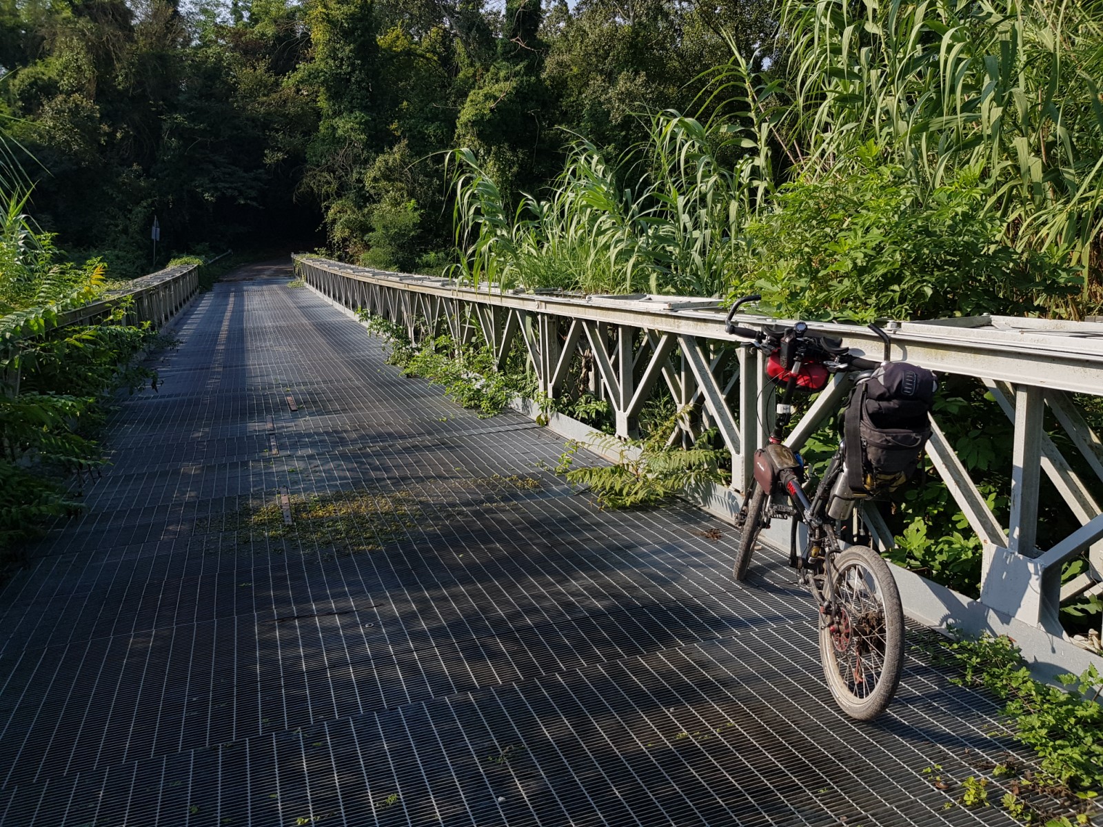
On the 51st kilometer ( 32nd mile) you have to climb the steep stairs (360° photo) of the pedestrian bridge that reaches the opposite bank (360° photo). We continue riding on a pleasant dirt road that passes under the iron bridge (360° photo) of the Perugia - Città di Castello railway line (on a time journey, 360° photo). The dirt road continues almost to Ponte Felcino, where you reach the left bank (360° photo).
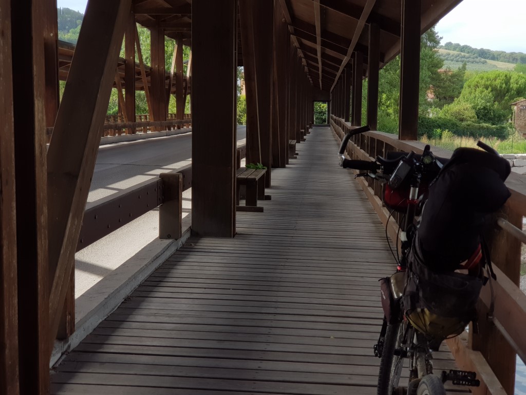
The green path begins as you leave the village and runs along the river until the end of the leg. The initial pine forest (360° photo), the fifth of the Torre di Pretola, the bike and pedestrian bridge (360° photo), the seesights on the river (360° photo, 360° photo, 360° photo, 360° photo), makes those last kilometers unforgettable (also in the winter version to avoid mud). Ponte San Giovanni, on the 66th kilometer (41th mile) is a wooden masterpiece (360° photo) from which you can admire the Tiberine waters. There is also a bar here and the train Station FS Perugia P.S.Giovanni is one kilometer (0,6 miles) away.
Stage 3 of 8
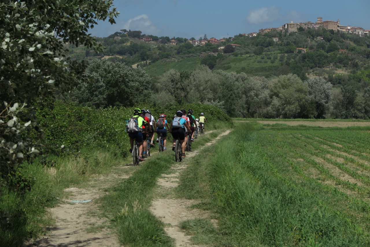
The third leg of the Tiberine Bike Route leaves from Perugia Ponte San Giovanni to reach Todi after 51km (around 32 miles). We leave the hills for the endless tobacco fields. Approaching Todi the elevations return and we enter deeply the nature of the Tiber River Park.
- Download gpx track from italian page
- > Please refer to 360°TiberMap to watch all the spherical photos taken on site.
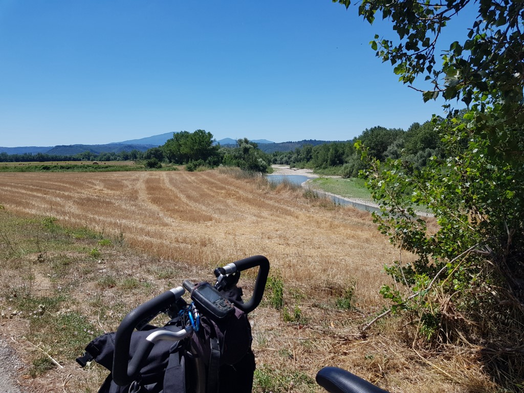
Leaving Ponte San Giovanni, you ride on asphalt to the town of Torgiano, where with a small detour you can admire the Silvestri Mill on the Chiascio river along the short “Torgiano green path”. After 11km (around 7 miles) you leave the asphalt at Ponte Nuovo, to take the green path along the Tiber (360° photo) that runs alongside cultivated fields (it is available a winter variant to avoid mud and puddles). On the 15th kilometer (9th mile), you take a secondary road that runs alongside the ceramic factories of Deruta.
Crossing the Tiber after 17 km (around 11 miles), you return to unpaved roads along the farms crossing the whole plain up to Cerro that you reach after 28km (around 17 miles, 360° photo). We are back on asphalt, on the outskirts of Marsciano. On the 33rd kilometer (20,5 mile), you return to secondary and dirt roads, riding along the disused railway, until you reach the closed station of Fratta Todina, imagining a hostel for cycle travelers (360° photo). From the 41st to the 44th kilometer ( from the 25th to the 27th mile) you ride carefully on normal roads.
Finally, you enter the green area of Montemolino (360° photo), unless you opted for the aforementioned winter variant. The view of the water barrier is a mandatory destination (360° photo). The dirt road in winter is at risk of mud (360° photo) up to the 49th kilometer (30th mile). Then you go back on asphalt until the end of the leg, to the outskirts of Todi (Flixbus station).
The stage can be combined with a stay in Rome, taking advantage of:
- the Rome - Perugia railway
- the Todi-Rome bus lines
Stage 4 of 8
The fourth Leg of the Tiberine Bike Route runs along the lakes of Corbara and Alviano alternating roads on asphalt and on dirt paths. It starts from Todi and arrives in Alviano after 55 km (around 34 miles) , crossing the Tiber River Park.
- Download gpx track from italian page
- > Please refer to 360°TiberMap to watch all the spherical photos taken on site.
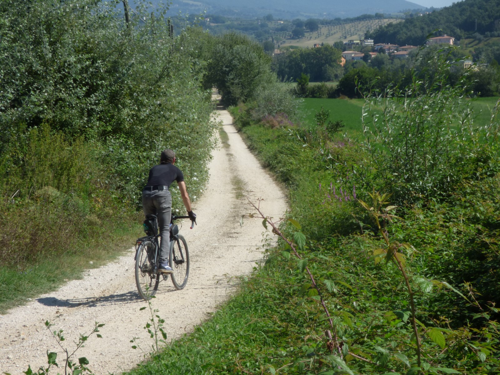
The route starts from the outskirts of Todi where it is advisable to take water and food supplies, because you will not find anything else for 40 km (around 25 miles), except perhaps a shop in Prodo, as explained below. Along the Tiber on a dirt road (360° photo) you ride up to Pontecuti, where you can admire the Tiber from high above (360° photo).
From here begins the climb on asphalt that goes up the Orvietana regional road for 11 km (around 7 miles), leaving behind the profile of Todi (360° photo). Traffic is moderate, but the 5% slope requires good training (or a e-bike).
With various ups and downs you can enjoy the ride thanks to the surrounding views (360° photo, 360° photo). The climb is on asphalt up to the 26th kilometer (16th mile). The small town of Prodo, at the 25th kilometer (15.5th mile), has a shop where you can buy something to eat if it is open. Here it isn’t uncommon to meet sports groups who are about to descend into the gorges below to go canyoning.
After 28 km (around 17 miles), you leave the Orvieto area to return to a dirt road and immerse yourself in the heart of the Tiber River Park (360° photo). After a first plateau, the dirt road descends for 5 km (around 3 miles) to Corbara Lake. The pavement is not the best (road bikes are definitely not recommended, 360° photo). Halfway there is the uninhabited village of Osa (360° photo). At the end of the descent, the road becomes paved again (360° photo).
The view over Lake Corbara, an artificial one like that of Montedoglio in the first leg, is a mixture of conflicting feelings. We are in the heart of the Tiber River Park (as confirmed by countless signs, actually extremely faded by the sun and age) and the scenarios bear witness to it (360° photo, 360°photo, 360° photo). On the other side the human presence here doesn't seem to care too much about the beauty: the cars are parked directly on the shore and shameful mountains of garbage are scattered everywhere (mostly picnic remains).
On the 38th kilometer (24th mile), you look out over the imposing artificial dam that generates the lake (360° photo). We see it again as we pass in front of its base (360° photo). On the 40th kilometer (25th mile) you get the state road (and shortly after there is a precious bar), fortunately going downhill for 2 km (around 1,24 miles).
You should pay the maximum attention to the junction with the busy E35 road, which diverts most of the traffic. Then you continue on the state road passing the village of Baschi (after 44 km/27 miles) and reaching Alviano (and its oasis) on the 55th kilometer (34th mile), the end of the leg.
To avoid the last 15 km (9 miles) on the main road, you can reach Orvieto using part of the route of the Osa Ring, taking into account a few climbs (see the elevation profile). From Orvieto you can take the train to Rome which also stops in Alviano and Attigliano, part of the next leg.
Todi can be reached from Rome by bus. Orvieto and Alviano are served by the railways.
Stage 5 of 8
The fifth stage of the Tiberine Bike Route goes for 40 km (around 25 miles) from Alviano to Orte with the view of the spectacular cloughs and of a Tiber hidden in a mysterious valley.
- Download gpx track from italian page
- > Please refer to 360°TiberMap to watch all the spherical photos taken on site.
Leaving Alviano (where there is the WWF oasis and a bar) you ride on low-traffic roads immersed in the scenery of the chines. The Tiber makes a magnificent appearance after 5 km (around 3 miles, 360° photo), while continuing towards Attigliano (where there is a bar at the railway station).
After 11 km (around 7 miles), take a dirt road that runs alongside the railway (360° photo). Pedal along the border with Lazio region along some farms (360° photo). On the 16th kilometer (10th mile), you get back along the Tiber in the most evocative stretch of the leg, along the "Cammino di San Valentino" (i.e. Way of St. Valentine, 360° photo, 360° photo). Once upon a time there was a boat connecting the two banks of the river in this area - rumors say (360° photo, 360° photo).
From the 18th to the 20th kilometer (11th-12th mile) there is a hard climb with a slope of 10-15% that few daredevils can say they have ridden on the saddle. It is luckily on asphalt and with very low traffic: you can therefore push the bike without being bothered by the passage of cars. After the climb there are different refreshment points in the village of Penna in Teverina. From there starts a long descent on asphalt, then a gap and a stretch on the plain up to Orte Scalo, the end of this leg.
The route can be planned using the Alviano, Attigliano and Orte railway stations.
Stage 6 of 8
The sixth leg of the Tiberine Bike Road goes between the memories of the past and the silences of nature from Orte to Nazzano Tevere Farfa Nature Reserve for 60 km (around 37 miles) in the middle Tiber valley.
- Download gpx track from italian page
- > Please refer to 360°TiberMap to watch all the spherical photos taken on site.
In Orte Scalo it is essential to take water and food supplies, because the first bar is located in the archaeological park of Otricoli, after 18 km (11 miles). The first 6 km (4 miles) after leaving Orte must be approached with caution: you pass two important junctions. Once you leave the asphalt, the dirt road (360° photo) moves away from the noise to overlook the Black River and the fields (there is a winter track which remains on asphalt, on the right of the Tiber, to avoid mud).
We are at the confluence with the "Via dell’Acqua" (i.e. the Water lane) which descends from Assisi to Rome, sharing the path with the Tiberine bike route from here on. The magnificent iron bridge (360° photo) stretches above a service canal to the dam (360° photo). Riding further, vast expanses of cultivated fields (360° photo, 360° photo) open up. The parenthesis of the road E45 (for a short stretch close to the dirt road) is soon forgotten in the hilly scenery that opens up at the foot of the village of San Vito (360° photo, 360° photo).
The route continues on dirt roads until it crosses the archaeological park of Otricoli after 18 km (around 11 miles, 360° photo). Just before entering the SS3 Flaminia road, there is a providential bar (the first refreshment point from Orte Scalo). Up to the 28th kilometer (17th mile) you ride along the busy Flaminia road, so proceed with caution. Once in Ponte Felice, just before Borghetto FS station (on the Rome-Orte rail line), you can recharge fully at the Agrigelateria (i.e. Farm Ice-cream shop).
From Borghetto the dirt road that runs along the river and the railway restarts (360° photo, 360° photo, 360° photo). This is a stretch at risk of mud in the rainy season (360° photo, see the winter variant already mentioned above).
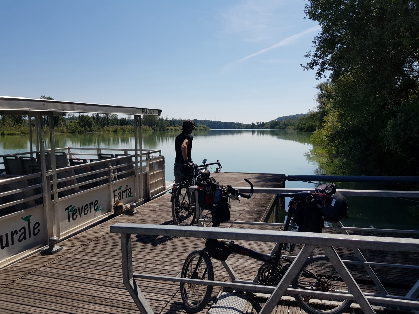
The passage across the Treja river is accomplished thanks to a private bridge which has a side passageway (bikes pass vertical on the left side of the gate, 360° photo). Alternatively, you can wade on foot, but the crossing point might not necessarily be found (360° photo).
Further on, there is a sheepfold with its Maremma dogs. The usual considerations (and recommendations) apply. Continue on the dirt road (360° photo) which shortly after runs parallel to the highway. There is a fountain hidden in an open space, evidence of the peasant past of these territories (360° photo). The previous section can be avoided by using the Rome - Orte railway, between the Borghetto and Stimigliano stations.
On the 43rd kilometer (27th mile) you return on asphalt for 46 km (28,5 miles). Then the dirt road leads to the Ponzano Romano Fiasco (i.e. wicker wine bottle of the city of Ponzano Romano): the stretch of the river where the two bends are close to touching.
On the limbo of land left between the two, you can see the river on both sides (360° photo). We entered the territory of the Nazzano Tevere Farfa Natural Reserve. The territory is rich of piers overlooking the river (360° photo on the 51st kilometer/32nd mile, 360° photo on the 54th kilometer/ 34th mile) and also of expanses of fields (360° photo, 360° photo, 360° photo). After 54 km (34 miles) and up to the leg end, the route returns along the river (360° photo).
The visit of the Natural Reserve can also be postponed to the next leg, the seventh, as explained on the dedicated page.
The Rome Fiumicino - Orte railway line offers frequent and different services. The fast regional train is the one recommended with a bicycle.
The frequent train stations on this rail line allow you to break the route into several days.
Stage 7 of 8
The seventh leg of the Tiberine Bike Route is dedicated to the Nazzano Tevere Farfa Reserve.
- Download gpx track from italian page
- > Please refer to 360°TiberMap to watch all the spherical photos taken on site.
Since this stage is mainly on the busy Tiberina, the train alternative is almost mandatory (the Poggio Mirteto Scalo station is along the Orte-Rome line). We recommend that you dedicate the day to discovering the beautiful Nazzano Tevere Farfa Natural Reserve. In addition to pedaling, we highly recommend the view on water level by renting canoes on site.
We point out some possible itineraries that can be accomplished on foot or ridden on a bike:
- ITINERARY 1- for families: The reserve on the right bank, from the Poggio Mirteto railway station to the Casa del Parco (i.e.Park house is the seat of the Natural Reserve administration). This Natural Reserve area is particularly friendly to riding families. There are parking spaces to unload the bikes and directly access a protected path for everyone. However, refer to the park authority before planning a bike trip checking the official website to see news.
- ITINERARY 2 - left bank: The reserve on the left bank, from Poggio Mirteto FS to the Campo di Contra educational farm. This route presents more difficulties than itinerary 1: the surface is less regular, there are some small climbs, the views of the river are less numerous and there are no picnic areas. Moreover, there are shepherd dogs to guard the flock, near the farm area. To cross the Tiber with a bike or without on a canoe, contact Mauro Piersanti of the Campo di Contra Educational Farm.
- ITINERARY 3 - wild reserve: From Stimigliano train station to Poggio Mirteto train station, exploring the northern side of the Nazzano Reserve. Please note the complete absence of intermediate refreshment points and the uneven bumpy dirt path requires a mtb and especially some experience. The bottom is at risk of mud in the rainy seasons.
The reserve can be reached by train, this train line serves several Roman stations (like Ostiense, Tiburtina, Nomentana, etc.). The train station closest to the Natural Reserve and to the protected paths away from cars is Poggio Mirteto train station (see also in the previous leg).
Check Trenitalia for intermediate stops and bike transport conditions.
Stage 8 of 8
The eighth and last leg of the Tiberine Bike Route goes from Rome to the sea of Fiumicino with a 55km/34mi bike road that crosses the eternal city, charming modern neighborhoods, a beautiful nature reserve, and an archeological area up to the seaside.
- download gpx track from italian page
- > Please refer to 360°TiberMap to watch all the spherical photos taken on site.
The last leg of the Tiberine Bike Route is for the first 33 km/ 21 mi ("Northern Lands", "Eternal City" and "Elysian Fields") on a protected and paved cycle path, while the remaining 22 km/ 14 mi, the "Sea lane", are mainly on a dirt road, inside of the Roman Coast Reserve. Refer to the dedicated pages for all the details.
Northern Lands:
The Northern Lands are the stretch in the north of the eighth and last leg of the Tiberine Bike Route. Then follow the Extreme Lands from the GRA, at Castel Giubileo, and down to Milvian Bridge, where the Eternal City path starts.
It stretches for a total of 11 km/ 7 mi. The bottom almost faithfully follows the right bank of the Tiber, flat and paved. Ideal for families.
A stone's throw from the center, with a countryside horizon, away from the hustle and bustle of the city, the Northern Lands and Elysian Fields represent the access doors to the heart of the city for all those who reach Rome respectively from the north and from the sea, within the large chapter of international cycle paths.
Opposite to the central stretch of the Eternal City, where the massive walls loom, here instead the view widens to embrace the floodplains, restoring a first harmony between the natural environments of the surrounding countryside and the narrow and deeply urban spaces of the historic center (360° photo).
Going up from Ponte Milvio, the Tor di Quinto Park, with the incorporated lake, offers a pleasant stop before venturing north for the next 8 km/ 5 mi. The path is easy but a backpack with a snack and a bottle of water is still recommended: a bar and a drinking fountain are only at the end, under the urban ring road (360° photo).
Public Transportations: Back and forth do not require specific training, since the whole path and return to and from Ponte Milvio doesn’t reach 25 km / 15,5 mi. Anyway, a gradual approach is always recommended if you’re not familiar with Rome and Italian cycling. The northern end at Labaro is served by the Rome-Viterbo ATAC train line which terminates in Piazzale Flaminio (Villa Borghese). There is currently no bike service. Only folding bicycles are allowed, following the travel conditions imposed by the train manager.
Check the rail-public transport map to plan your bike + metro + train + .... trip!
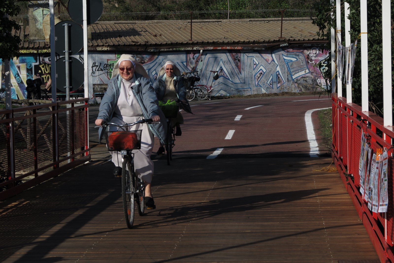
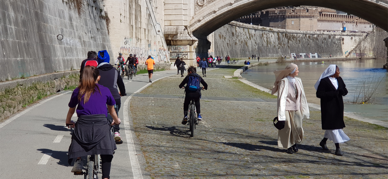
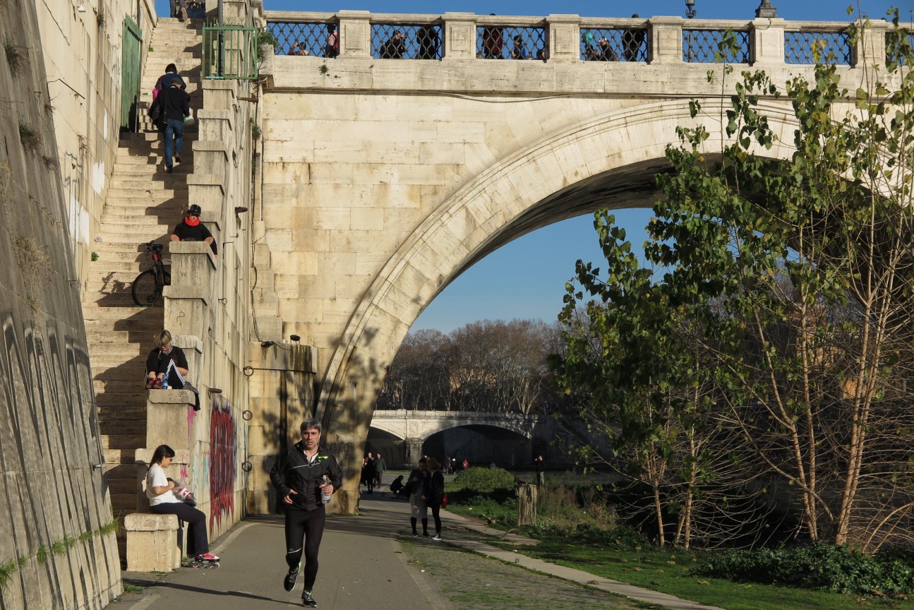
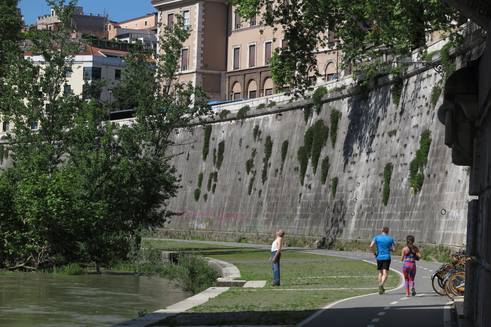
Eternal City
The central section of the eighth and final leg of the Tiberine Bike Route crosses the monumental splendor of the Eternal City, in the corridor carved by the river and paved by man, just below the roadway of the Lungotevere.
It starts from Milvian Bridge and arrives at Sublicio Bridge in Trastevere. It’s the continuation of the Northern Lands path and brings to the Elysian Fields lane.
This is a walk along the quay where history lazily curves following one bridge after another. You can enjoy it by bike, canoe or by foot discovering a city and its river that for millennia have had a tight connection of secret wonders.
It’s a break from traditional tourist sightseeing, for some it’s a sunday walk with the dog, for some others the morning run before going to the office, for many it’s the bicycle path for daily transportation, for a few that take the time it’s flowing poetry (360° photo).
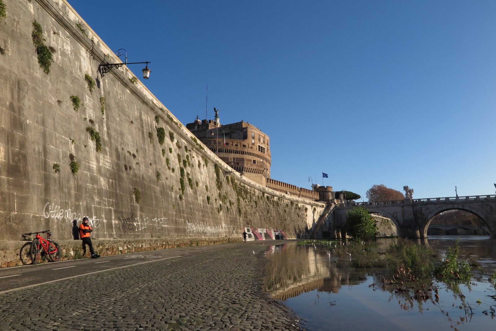
Go down the stairs or take advantage of the ramps, the majesty of the Tiber awaits you in a scenario of a thousand contradictions. Ten flat kilometers (6 mi) between the linear quay, the circularity of the Tiber island and the opposite banks that welcome and concretize thoughts, visions, encounters.
Whether cycling fast or sitting in contemplation, with rollers or oars, a book or a pair of headphones, the Tiberine Bike Route crossing the eternal city will amaze you with unexpected corners of nature, silent views, secular perspectives that you would never have imagined. (360° photo)
Alternatively, look out from the pedestrian bridges. From Milvian Bridge to the Science Bridge at the Gasometer, crossing the Music Bridge, Saint Angel Bridge, Sixtus Bridge, Cestius Bridge and Fabricius’ you will experience six balconies to follow the Tiber from above, in its lazy descent towards the sea.
In the central section you can reach the Tiberine Bike Route using the two subways (Metro A Lepanto and Flaminio, Metro B Piramide) and the metropolitan trains (Piramide and Trastevere stations), or follow the protected routes along the villas (Villa Ada, Villa Borghese), the linear park that descends from Monte Mario and that of the Appia Antica.
Check the rail-public transport map to plan your bike + metro + train +... trip!
Champs Elysees
The Elysian Fields are the southern stretch of the eighth and last leg of the future Tiberine Bike Route. It’s the natural continuation of the Eternal City lane from Sublicio Bridge and ends up at the monumental bridge of the GRA, in the neighborhood of Mezzocammino, where it continues with the Sea Lane, towards Fiumicino.
Mirror to the Northern Lands, they represent the middle ground between urban reality and the Roman countryside, where the concrete leaves way to the natural scenarios of the vast floodplains and riparian vegetation. (360° photo , 360° photo)
From Trastevere to Mezzocammino
beyond landfills and decay the lane goes stubborn down there where the giant trees at sunset whisper solemnly
the words of the ancestors.
You pass the Gazometer, then you cross the district of Magliana and you can stop at the fountain of the Roman Bridge of the II century BC. to refresh.
From then on, the gaze widens on the historic Tor Di Valle racecourse with the endless plain behind it, the ACEA water company bridges that cross the river, the imposing row of eucalyptus trees and finally the boundary of the urban ring road.
The Sea Lane
The Sea Lane is the final stretch of the eighth and last leg of the Tiberine Bike Route. It begins where the official cycle path ends, from the Elysian Fields, along the right bank of the river (reaching the bank thanks to the GRA bridge) to the old lighthouse of Fiumicino and the wide sea.
From Mezzocammino to Fiumicino, one curve after another, it will be the Spirit of the River to bring you on a timeless journey.
It represents the arrival to the seaside for all cyclists who, starting from the center of Rome, intend to reach the beach without having to share the route with cars, trucks, mopeds. The Sea Lane extends on the right bank of the river, within the State Natural Reserve of the Roman Coast, in an exceptional naturalistic setting. The wide sights of the floodplains give way to the closed perspectives of the reeds in a mystical journey that ends with the boundless horizon of the wide sea.
While waiting for the Roman administration to take action to insert it within the official route (connecting it with the paved section already built by the municipality of Fiumicino), the Sea Lane is kept open thanks to volunteers mowing, cleaning, restauring benches and signs. The limited resources in the field, however, cannot guarantee a clean free secure path throughout the year. In some places, the vegetation may have regained the upper hand. Help us to fight the dark side of the reeds! Follow us on social networks or keep an eye on the Cat Calendar to stay updated on scheduled activities.
…. And don't forget to read, further on, the chapter dedicated to tips for organizing a ride to Fiumicino. The wild nature of the Via al Mare deserves respect and attention.
Don't improvise!
Leaving the paved section at Mezzocammino (where an information panel provides some indications for those who want to continue), cross the GRA bridge ( 360° photo, along the protected sidewalk, see the chapter dedicated to it below), to arrive on the right bank, and from there continue to the seaside.
The first section runs at the foot of the embankment on the edge of a cultivated field (at risk of mud in the rainy period, 360° photo). For a peaceful coexistence, we avoid trampling the crops, leaving waste on the street, etc etc... Climb up the embankment a little further on ( 360° photo), do not leave it as far as Galeria Bridge, except for when you will pass under the Rome Fiumicino viaduct ( 360° photo). The bottom is a comfortable dirt road ( 360° photo). Some stretches, especially in spring, could be suffocated by the vegetation (making it difficult for cyclists crossing from opposite directions).
From GRA Mezzocammino to Galeria Bridge it is about 8 km/ 5 mi. Cross the Portuense bridge ( 360° photo) and resume the embankment a little further on ( 360° photo). In a few minutes you will arrive at the Belvedere Galeria ( 360° photo) and then at the bunkers of the Second World War ( 360° photo). The dirt road remains good as long as it remains on the embankment. At the height of the Belvedere Caravaggio ( 360° photo) you leave the embankment. Here in winter the bottom can get muddy. At the Guarini turn ( 360° photo) begins the paved section built by the Municipality of Fiumicino. Below, there is a descent into the water, used during the celebrations of Festa della Scafa and of Cuore di Tevere ( 360° photo).
From here you can take the train back to Parco Leonardo train station (see dedicated chapter below). There are less than 10 km/6 mi to reach the Fiumicino dock. Along the way a hydrometer ( 360° photo) just before reaching Capo Due Rami (i.e. Cape of the two branches), where the Tiber "splits" into the large river and the Fiumicino canal ( 360° photo). You pass the sluice of the port of Trajan ( 360° photo) and reach the Episcope of the ancient city of Porto ( 360° photo). A little further on, there is the parking lot of the cemetery ( 360° photo). From there on, continue on the sidewalk of the Portuense up to the dock of Fiumicino.
The Cinque Lune fountain is surprising for its cold and refreshing water ( 360° photo). Nearby you find many bars and a lot of restaurants. After reaching the light at the end of the dock ( 360° photo), you can go back and cross the suggestive pedestrian walkway ( 360° photo) to continue on the waterfront cycle path (alternatively, you can go back to catch the train from Parco Leonardo train station, as explained in the dedicated chapter).
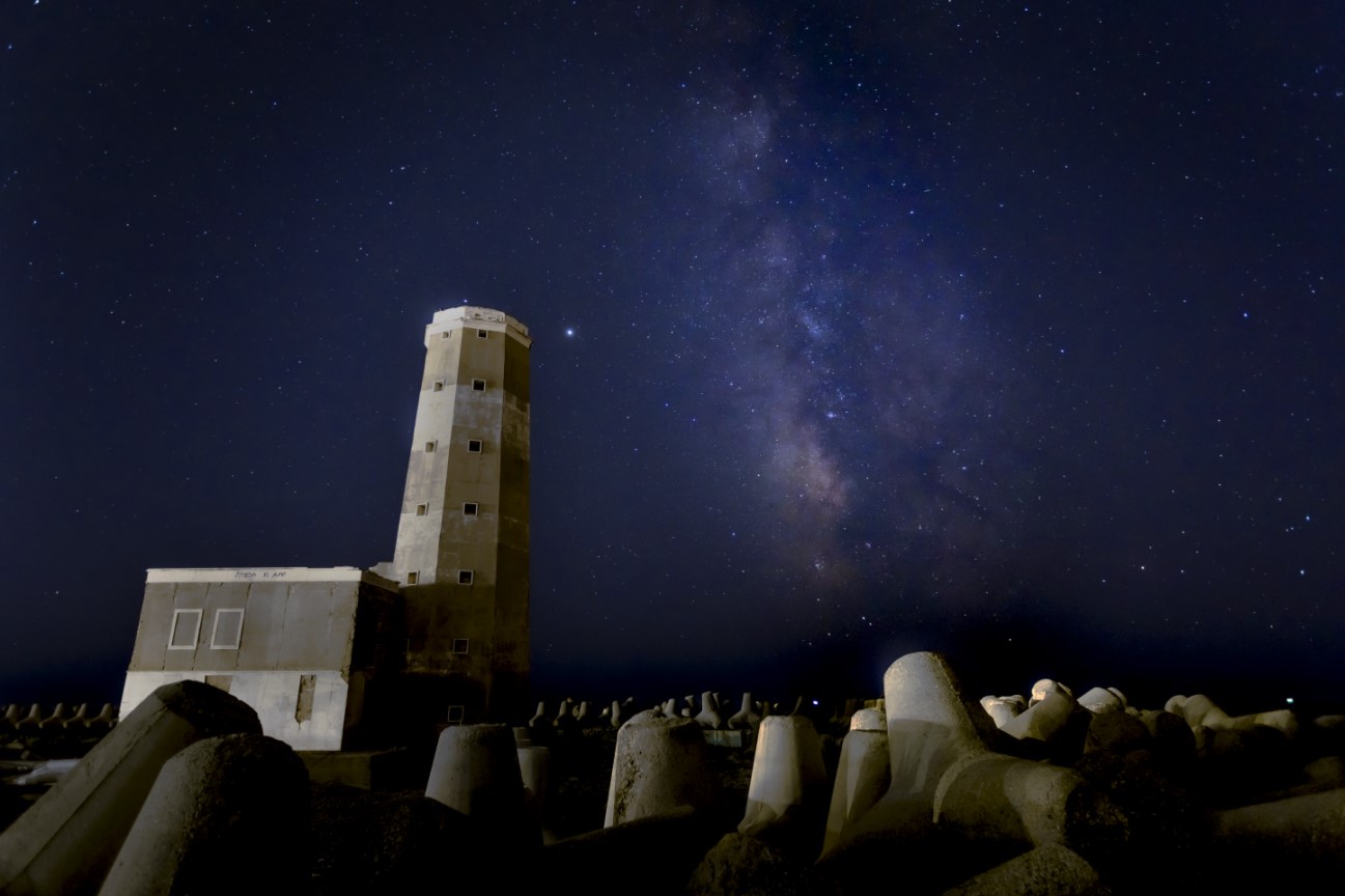
At the end of the cycle path, take the paved road (with moderate traffic) to reach the old lighthouse at the mouth of the Tiber ( 360° virtual tour). The whole area is in a state of neglect (although the citizens of the association Tables of the Port have been fighting for several years because it would become accessible). In spite of this neglected look, the poetry of this place will leave its mark on your memory.
Continue through the fishermen village and the Scafa bridge to reach the shore of Ostia, where it is possible to take the train back to Rome (see dedicated chapter below). For those who still have energy, we recommend the Southern Ring.
You can take the Sea Lane going up from the Fiumicino dock (see the chapter on "family routes"), or descending from the border to the GRA Mezzocammino in the Elysian Fields (described later).
In general, it can be reached from one of the several entrances located along the route. The same can be used as exits in case of problems (technical failure, physical problems, delay, disorientation, etc.).
Referring to the poster above, going down the Tiber, we point out:
- GRA EUR Mezzocammino: it is at the end of the official paved section, about 8 km/5mi away from Metro B Magliana along the Elysian Fields (all flat on a paved surface; low attendance, the first time to go accompanied). Refer to the dedicated page. Continued ...
- Ponte Galeria FS: the entrance to the cycle path is directly on the Portuense road; nearby you can find refreshment points, drinking fountains and several parking lots; less than 500 meters away is the Ponte Galeria railway station on the Rome - Fiumicino line); from GRA Mezzocammino to Ponte Galeria FS are about 8 km/5 mi on the Sea Lane (mainly on a flat dirt road);
- NOT RECOMMENDED Fiera di Roma FS: we do not recommend getting off at the FS Fiera di Roma stop, because the path to reach the cycle lane is tortuous, degraded and involves some dangerous junctions. NOTE: Fiera di Roma FS should be the last useful stop to take advantage of ATAC city tickets; but contact Trenitalia for confirmation.
- Parco Leonardo FS: the Parco Leonardo FS station is about 6 km/ 4 mi from Ponte Galeria pedaling along the Sea Lane (mainly on a flat path); it is about 8 km/ 5 mi from Fiumicino along the "corridor C5" (see next chapter); Parco Leonardo station can only be reached from the cycle path by crossing the narrow and busy Portuense road.
- Belvedere Caravaggio: Via Portuense at the height of Viale del Caravaggio (41 ° 47'57.3 "N 12 ° 18'18.3" E;)
- Guarini turn: via Portuense at the height of via Guarino Guarini (41 ° 47'25.8 "N 12 ° 17'13.1" E;)
- Fiumicino: it’s about 8 km/ 5 mi from Parco Leonardo FS (following the "corridor C5", see next chapter); about 10 km/ 6 mi from Parco Leonardo FS by going back along the Via al Mare (stretches of dirt road, paved cycle lane and sidewalk along the Portuense road)
- NOT RECOMMENDED Episcopio di Porto: via Portuense at the height of the Episcope of Porto
- Cemetery parking: Via Portuense at the height of the Monumental Cemetery (big parking; recommended for children and families, see dedicated chapter below)
- bus COTRAL Fiumicino Metro B magliana (passing through the Portuense, Parco Leonardo and Ponte Galeria; alternatively, there is a line with destination Metro A Cornelia): check the official website
- Ostia: the Rome - OstiaLido train (more frequent than the FS Fiumicino - Parco Leonardo - Roma Ostiense line) is 10 km/ 6 mi from Fiumicino, but to reach it you need to pedal on a dangerous road (unless you go further by turning right into via Tancredi Chiaraluce). The recommended stop is Ostia Lido Centro (without architectural barriers if you take the train towards Rome)
- NOT RECOMMENDED: the first stop you meet when cycling from Fiumicino is Lido Nord, but the service lifts at the station and its overpass are not always in operation, forcing you to carry your bike on the stairs!
Considering the wild nature of the Sea lane and in order to become familiar with the route, the difficulties and the possible confusions, a gradual exploration is recommended, better with someone who knows the area.
NOTE:
- travel conditions and bike transport: check Trenitalia website (Fiumicino-Ostiense line), Atac (Ostia-Piramide line) and Cotral
- public transport map: please note that there is the rail- public transport map that helps to plan your bike + metro + train +.... trips!
Winter route
To keep the contact with the river, to keep the distance from the cars and to fully appreciate the contact with nature, the route of the future Queen of the Bike Lanes, where it is possible, includes the itineraries along the banks.
But there are not always beaten paths (these are usually capable of draining the rain water away). Some routes go, in fact, along the borders of cultivated fields where the rainwater can transform the soil in a real trap that would block the bike wheels. This type of mud can be removed only with a lot of water and patience. That’s why with the beginning of the raining season it’s better to follow the winter route until the rain would leave the soil dry.
Winter track: follow brown line into 360TiberMap
Advices and responsibilities
The lands of the Queen deserve attention, respect, and awareness.
Please read carefully all our advice, remarks, recommendations and the disclaimer. A couple of minutes of your attention will spare you misadventures and accidents later.
All the information that you might find on this website are assembled and elaborated by people that have no titles, no patents. This information is the expression of our civil commitment and since we had to cover an immense territory (400km from sources to the river mouth place the extra itineraries around the Tiber), you have to take it for what it is: uncertain, dated, disarticulated, insufficient, not 100% reliable (if you want to help by integrating, correcting and updating it, please let us know).
While we are waiting for an official route that will cover the whole river lane, we want to share the wonder of these territories. Hopefully this will stimulate the institutions to make their own part. For the moment with the power of imagination we designed a route that with a sense of adventure and courage was ridden resulting in the itineraries that you will find on this website, the temporary and fragile result of some citizens’ venture, people in love with the Tiber and its lands.
The same thing is valid for the bike events that you might find in the calendar. There is no certificate for all the patience, the empathy, the solidarity or the support given to others in sharing this dream. You will not find any tour operator, no ambulance or insurance ready to be signed. There are also no spiritual or tour leaders on the road. If you enjoy anybody along the way, you will do it at your own danger and you are the only one to be held responsible for it.
We also didn’t receive any economic contribution from sponsors, we didn’t advertise commercial businesses: all you read it’s fruit of passion and free time, stolen away, often with hard times, to our personal life and beloved ones.
Disclaimer
Please consider the nature mostly wild of the Queen lands. To approach autonomously, responsabile and aware:
- Turn your brain on
- Gather information and verify personally everything you can in advance
- Let’s ride only with people who are used to, experts, capable and trusted riders chosen personally that are willing to assist and to share joys and problems.
If you are not experienced in riding on dirty paths, on city bike lane or in medium long rides, if you are not capable of repairing your bike, if you don’t know how to move in the region autonomously, if you never took public transportation with your bicycle, if you don’t feel capable of evaluating the information gathered, if you are not prepared to face the unexpected, please think twice before undertaking one of these routes and try to get as much as experience you can before.
The unpleasant and dangerous problems could be:
- Orientation problems: it’s important you know to use a GPS disposal and how to correctly upload the bike tracks that are available on the page dedicated to orientation.
- Route problems: the itineraries are mostly on dirty tracks. Plants, mud, private properties and other menaces could make riding difficult or even prevent it. It’s impossible to keep all information on this website updated, so be aware of it.
- Supply problems: water fountains and food stores can be rare especially in the so-called Extreme Lands.
- Technical problems: punctures, chain break, etc.
- Animals free in the wilderness: herds with related shepherd dogs, ticks and others…
- Meeting with the Unmeasurable...
A good GPS track
Be aware: except the routes that are official institutional bike lanes thanks to the local, regional or national administrations, all other tracks are just a suggestion of a route that can vary and it isn’t necessarily safe. We would advise for the first time to ride with someone that knows the territory or you can turn to local associations or professionals that do offer guiding.
Let’s take inspiration from the tracks proposed with prudence:
Some stretches have no street signs nor signs of civilization nor people walking by, some have detours, interruptions, gates, some are one-way or on busy roads, others cross places that might be muddy. Also the weather plays a central role in the comfort of the ride, so make sure to check the weather forecast and to be prepared for everything that might come. Traffic laws come first, so pay attention to the sign if present and ride accordingly.
Please share with us changes, updates, integrations and corrections! We will appreciate it.
Go or not to go, ride it or not to ride it?
The stages are described, one by one in the orientation page. You can help us. Point at us changes or mistakes. If you go and you ride one of the routes, share with us photos, thoughts, etc. If there is something that it is difficult to understand, please write immediately to us.
Theoretically it’s possible to ride with a bicycle all the itineraries except the stage 7 from Poggio Mirteto to Rome (that goes along the dangerous via Tiberina). But it’s subjective and it depends what routes you are used to riding. That’s why we spend time on the advice to make you capable of deciding on your own what to do.
To have a better idea of the places that you could cross we point the Tiber Map at 360° (photos, videos, info-sheets, etc.)
As usual it’s important that you “don’t get ahead of yourself”.
There are some routes that are easier and give the possibility to increase the rider awareness on the bike and along a medium-long itinerary and of her/his limits.
To help out who is still unsure we divided the routes by difficulty:
- Low level: riding in the paved stretches which are official and inside the city of Rome (Eternal city, North Lands and Elysian Fields) and in the Pine Grove of Castel Fusano.
- Medium level:
- adventure yourself along the sea bike lane to Fiumicino, better if the first time you break the itinerary thanks to the public transportation as you will read in the dedicated page.
- riding inside the Natural Reserve of Nazzano (so that you can experience riding on the dirty paths outside a city and what it means taking the train with your bicycle)
- High level: to the Extreme Lands (from the sources to the border with the city of Rome) there are different routes with different difficulties to improve your skills and resilience to adventure.
Besides the experimental attitude, riding gradually the routes from the easiest to the more difficult ones, take our advice into consideration and please consider that difficulties are subjective and it depends on character, experience, attitude, habits, company and weather. So don’t be too severe with us, when you will value our advice as irrational, too wary, too optimistic or balanced.
Eat and Sleep
There are places where to stop, eat, sleep?
As simple citizens, we use different places to discover and fully experience our land and if you have difficulties online to find the right place, we might help but keep on mind that experiences and expectations have something very subjective in them and that there are APT (tourist information points) you can turn to in each municipality and that the websites reached a good professional level to describe what the business they refer to offer and what they don’t.
Family itineraries
The routes are listed by difficulty, from the easiest to the most difficult one in our opinion. We considered the pavement (the paved one is considered easier than dirty paths), the service presence (bars, toilettes, fountains, etc.) and by car traffic.
You can help to improve our rank with your thoughts. But the best to value the route would be you ride first yourself and then you go back with your children. You know them as nobody else does.
Notes:
- flat routes: all the proposed routes are flat
- crowded holidays: On holidays, the traffic of cyclists could increase significantly, and not everyone has the sensitivity to slow down in the presence of children.
- public transport: if you intend to reach the routes by public transport (if present), reflect on the possible architectural barriers (e.g. absence / failure of lifts)
Our suggestions (detailed into italian version web pages):
- Eternal City (from Ponte Milvio to Ponte Sublicio): it takes advantage of the quay at the height of the river. The only risk is to end up in the water. It is advisable to reach the quay by taking advantage of the ramps present at Ponte Marconi, Ponte Sublicio, on the Tiber Island and on the Lungotevere della Vittoria (the stairs that descend from the Lungotevere alleys are very uncomfortable). Continued...
- North Lands (from Ponte Milvio to GRA Nord Labaro / Prima Porta): to ride back and forth. Bars and fountains are only at the ends. Continued...
- Elysian Fields (from Ponte Sublicio to southern GRA Eur Mezzocammino): we recommend starting from the Roman Bridge, to reach the southern GRA - Mezzocammino enjoying the most beautiful stretch. Possible to find a drinking fountain only at the Roman Bridge. Continued...
- Pine Grove of Castel Fusano along the Southern Ring: At the terminus of the Roma Lido railway. A vast pine forest where you can ride around freely. You can stay on the asphalt roads (closed to traffic) or wander in the myriad of paths that run between pines, holm oaks, etc. Continued...
- Via al Mare from Rome to Fiumicino: 22km within the Coastal Reserve. Better to start going up from Fiumicino towards Rome, to take advantage of the paved section (and maybe go further to get familiar with the dirt road) Continued...
- The Natural reserve of Nazzano Tevere Farfa in Poggio Mirteto: a protected area for cycling along the river. The car parking space at the border of the reserve will allow you to pedal safely right away, also the train station is just a few hundreds meters away. Continued...
- The ring around Albano Lake: path along the lake shores in a spectacular setting just a step away from Rome. Continued...
About me
Giorgia Cadinu
I am a tour guide specialized in private tours. Your personal relationship with the Eternal City is very important to me. My creativity, empathy and my passion make my guided tours special. Families, couples, friends, colleagues and individuals have different needs. more...
> Please refer to 360°TiberMap to watch all the spherical photos taken on site.
